 Plitsch
How accurate is rain radar?
For the next hour, a radar forecast is usually the best answer to whether it’s about to rain. The further ahead it looks, the less certain it gets.
Measuring and forecasting are two different things
The radar measures where it’s raining right now. The forecast uses the latest images to work out where the rain is moving. That works well as long as a rain area moves steadily.
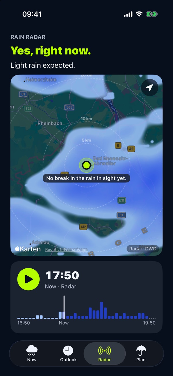
Where it gets difficult
- New showersRadar can’t see what hasn’t formed yet. That’s why summer showers and thunderstorms are harder to predict.
- Rain high upRadar measures above the ground. Some rain can evaporate on its way down.
- MountainsMountains can block the radar beam.
- Longer time spansThe further ahead the forecast reaches, the more the rain can change.
How Plitsch handles this
- New every five minutesPlitsch fetches each new radar image as soon as it’s available.
- The next cell tooIn Germany, Plitsch looks at your one-kilometer cell and the eight around it.
- No made-up certaintyIf the forecast is too old, it says so. If data is missing, the gap stays visible.
- Plitsch checks itselfIn Germany, Plitsch checks its forecasts against what the radar measured afterwards. The forecast accuracy is in Settings.
Where does the data come from?
In Germany, the forecast comes from the radar of the German Weather Service. Elsewhere in Europe where rain radar exists, and in the US except Alaska and Hawaii, it comes from Foreca. Where there is no rain radar, the app tells you.